VIDEO SHOWS AERIAL ATTACK ON SWIMMERS FLEEING ONTO TIGRIS BANK IN MOSUL
- Source: Iraqi Army Aviation (Corroborated)
- Location: Mosul (Confirmed)
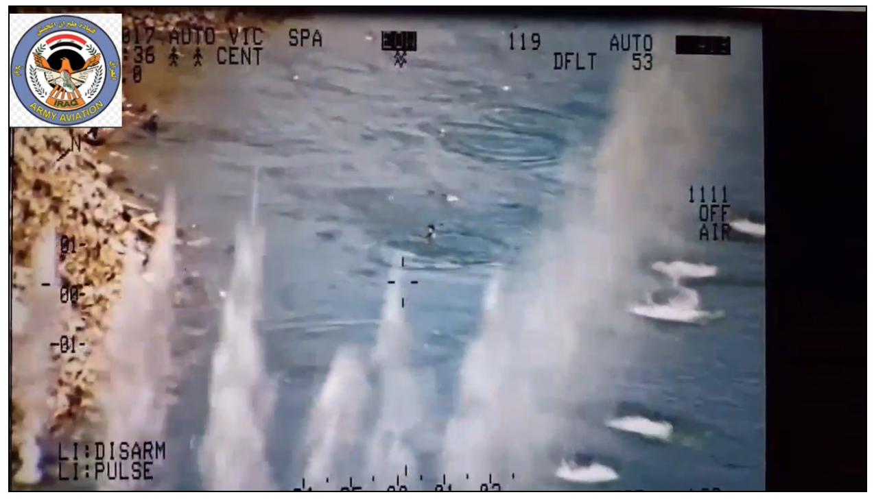
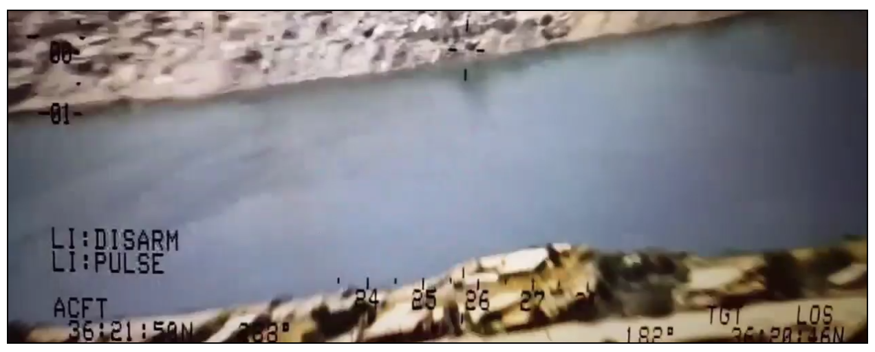
A video released on July 16, 2017, was described as showing attacks by an Iraqi helicopter on fleeing IS fighters by the banks of the Tigris River on July 15, 2017.
The video shows the west bank of the Tigris by Mosul’s Old City, where clashes between Iraqi forces and IS militants continued on that date, according to Reuters.
The video is described as showing Iraqi Air Force Squadrons 21 and 28 taking revenge for Speicher, referencing Camp Speicher, a former US base near the Sunni-majority city of Tikrit that was the site of a mass killing of Shia soldiers by IS, in June 2014.
Source:
The video was uploaded by a Facebook page claiming to be run by the “Iraqi Army Aviation”; however, it was not featured on the air force’s official page.
The Iraqi Army Aviation page featured a lot of high-quality footage of Iraqi military operations.
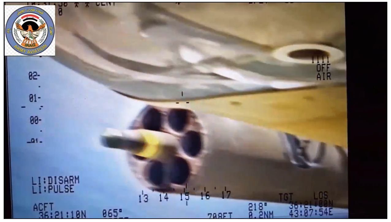
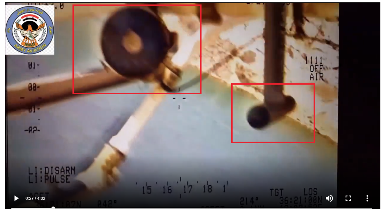
These screenshots, taken at around the 30-second mark in the video, show the helicopter’s undercarriage.
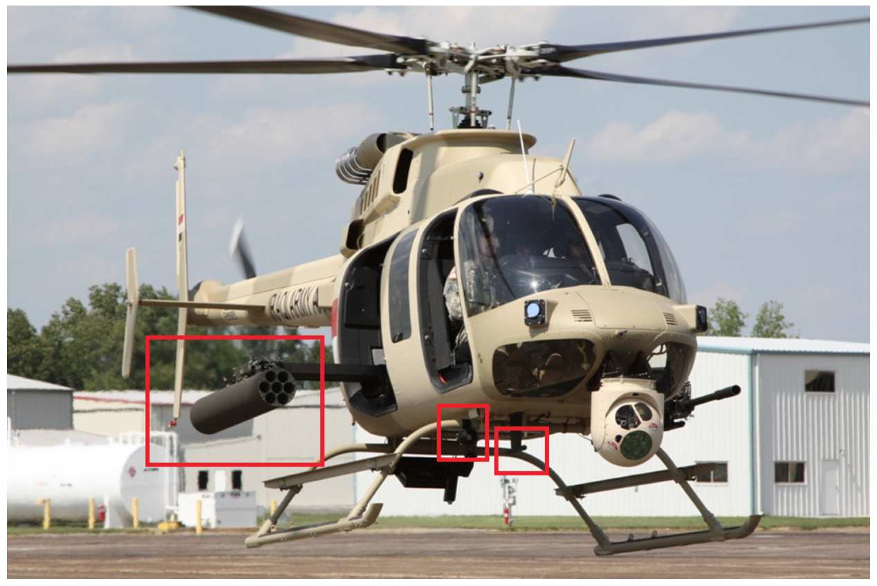
The Iraqi army’s Bell Armed Scout IA-407 helicopter has a nose-mounted camera that can swivel. The right-hand side-mounted missile launcher and a number of other characteristics of the Iraqi army-branded IA-407 seen in photos online tally with the video. The Iraqi army was using the IA-407 in the fighting in Mosul in the summer of 2017, according to reports.
See the original of the above image here on globalmilitaryreview.blogspot.com.
Location:
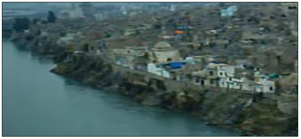
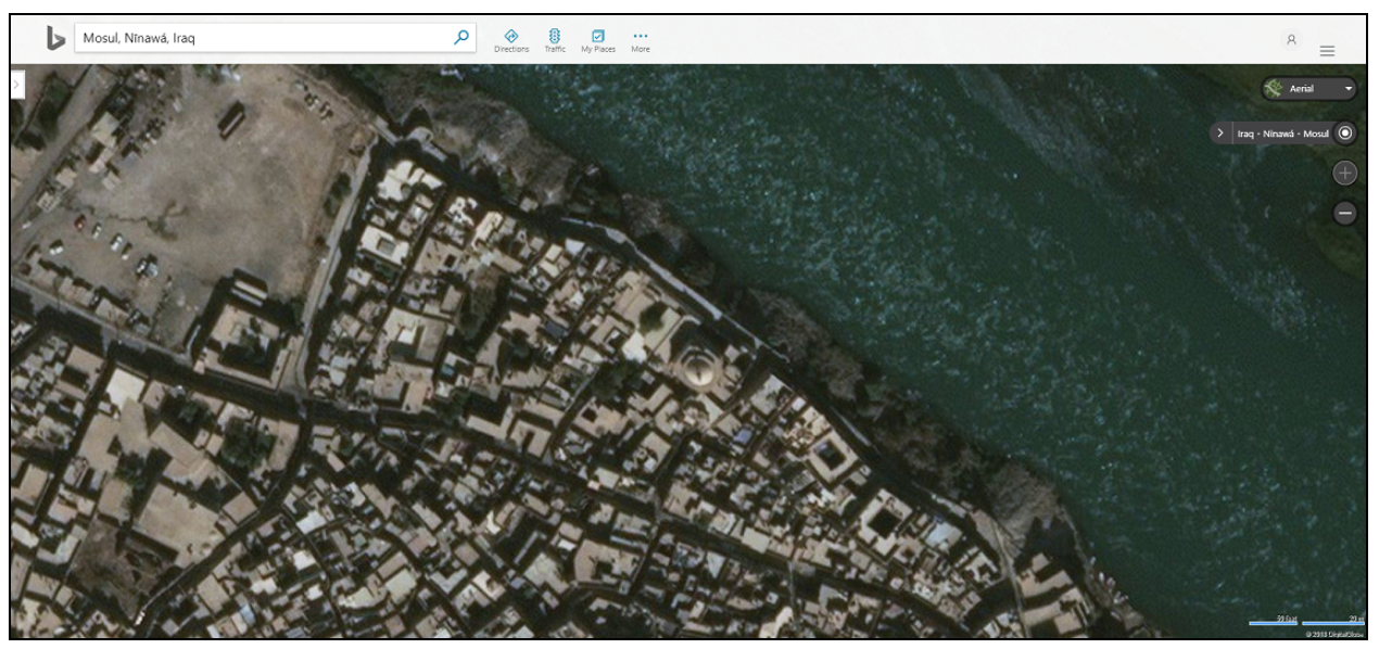
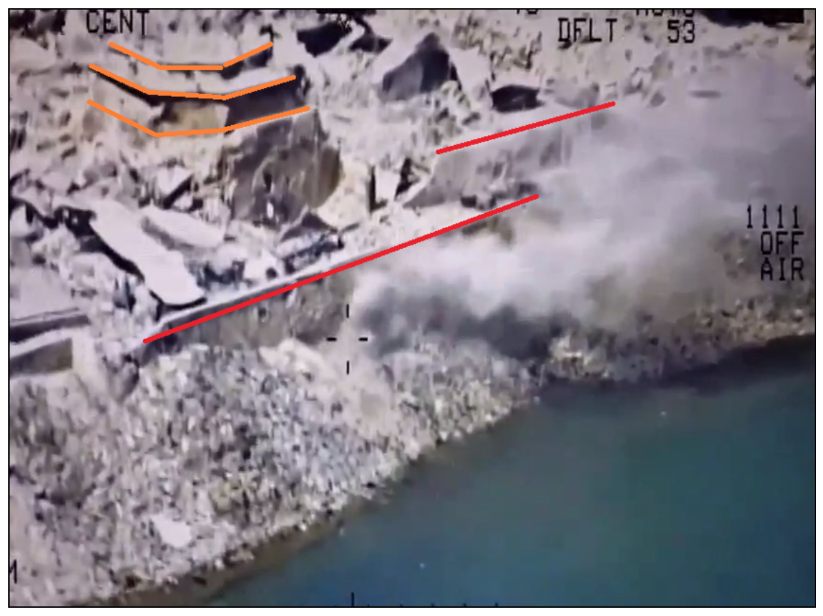
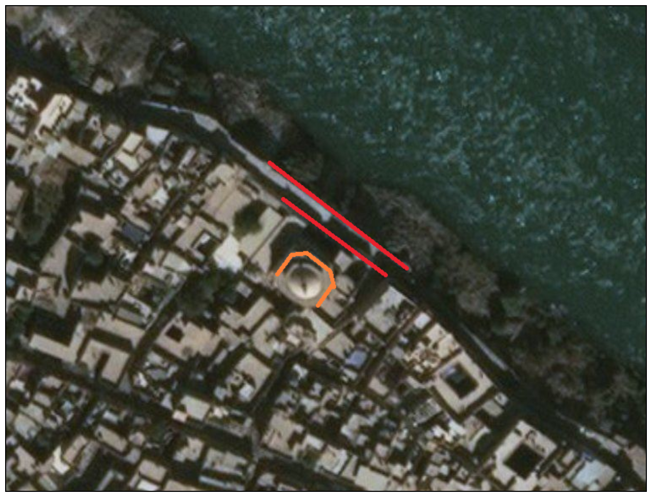
The footage is described as showing the Tigris River, and tallies with a 2007 video showing the western banks (see screenshot below) and aerial views of the same area. The steep bank, with rocks at the bottom, the river’s size, and the two rows of walls are consistent with the video. A hexagonal dome can be seen in 2007 video and on mapping of the city, and can be compared to the video (see screenshots below).
Due to the extensive damage in the area, many of the buildings in the aerial maps cannot be identified in the video.
The coordinates in the video give a location over the Tigris River opposite the Old City of Mosul.
Screenshot from 2007 video (around the 25-second mark).
See here on Bing Maps.
The two layers of ruined walls are highlighted in red in the picture below. The concentric hexagonal structure of the tower, which appears to be a partially standing dome, is highlighted in orange.
The road on the east side of the river can also be compared to this screenshot from the video:
Aerial imagery of the east bank shows a similar green area with a road near the river bank.
Date:
The date can be seen in the top left of the video, and tallies with reports of fighting in the Mosul’s Old City (see summary above).

